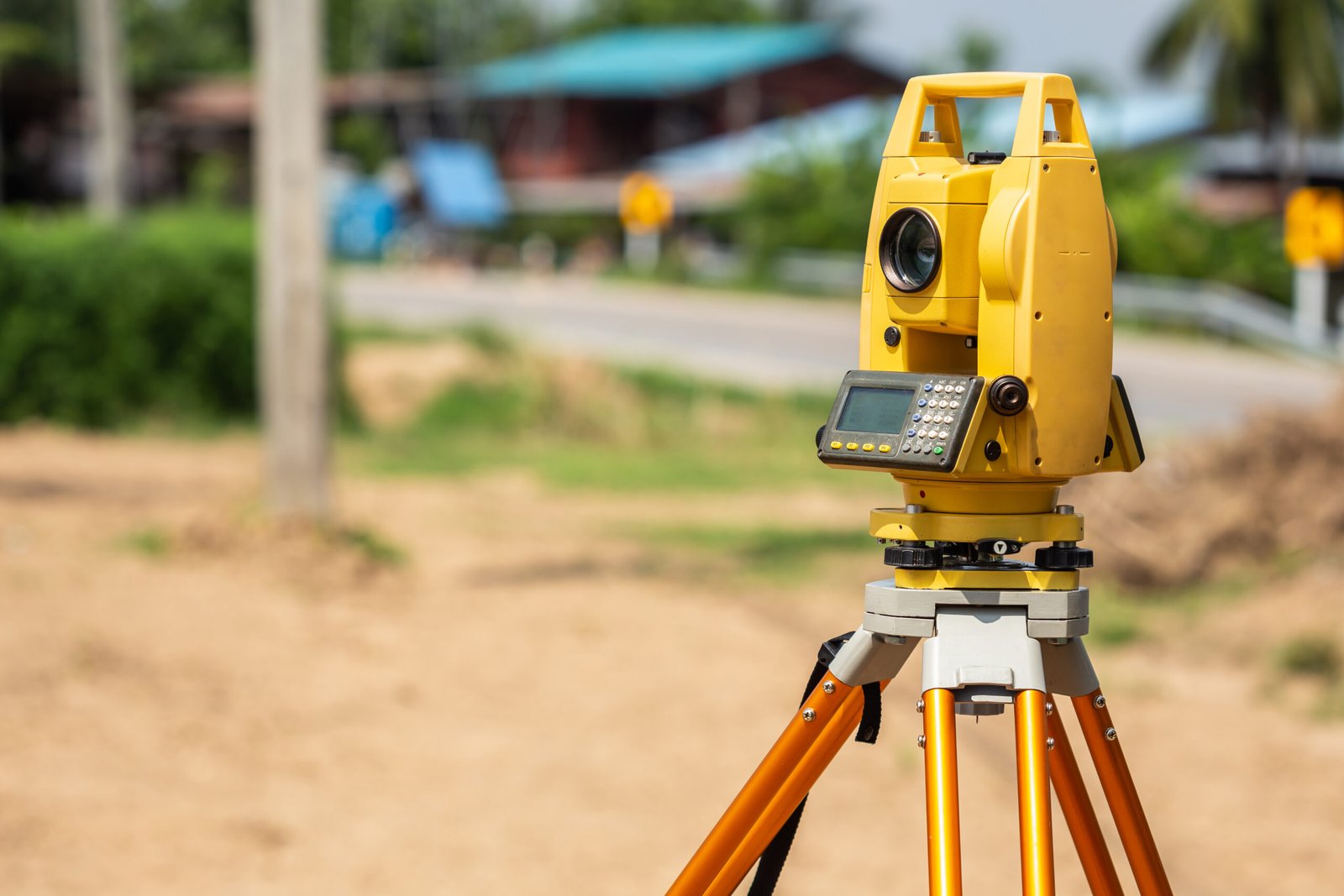
Essential for architects and engineers. Before you design a new home or drainage system, you need a 3D map of the land. We map the contours, slopes, trees, and existing structures to provide a precise base for your design.
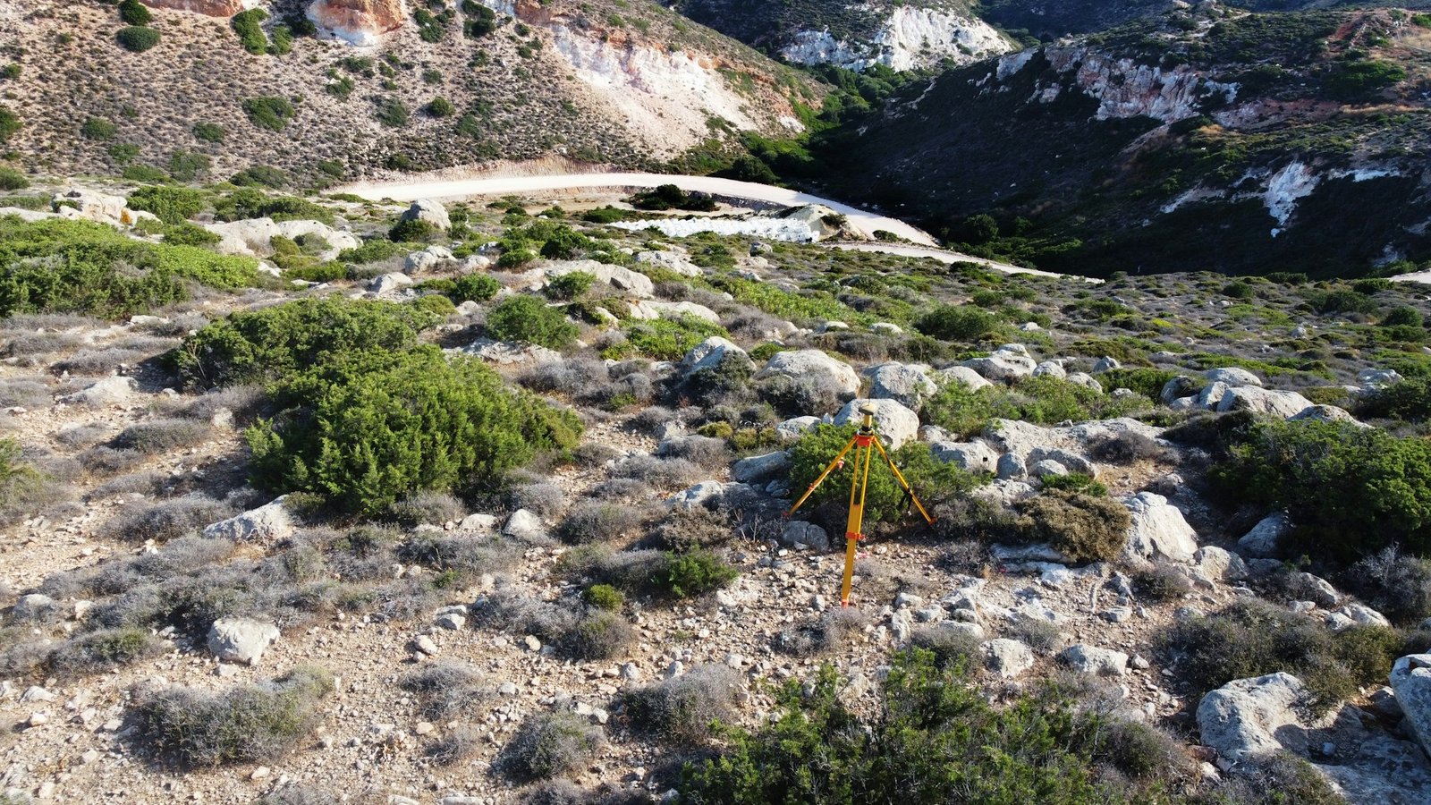
Are you organising a coastal event or monitoring erosion? We provide precise pre and post-event topographic surveys to satisfy Environment Agency requirements. We map level changes to the centimetre, ensuring you meet all compliance standards for beach restoration and safety.
There is nothing worse than having your property application rejected because the map wasn’t quite right. Whether you are splitting a title or registering land for the first time, we create drawings that meet strict HM Land Registry standards, so your paperwork goes through smoothly.
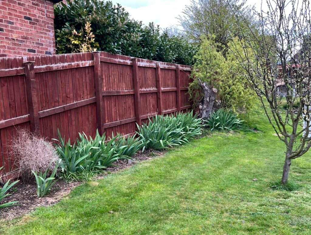
Not sure exactly where your garden ends and the neighbour’s begins? Hedges and fences aren’t always the legal line. We analyse your deeds and physically stake out the true boundary on the ground, giving you clarity and helping to resolve any disputes calmly.
Planning an extension or renovation? Architects need more than a rough sketch to do their job properly. We measure your building in detail to provide floor plans, elevations and sections to give your design team the precise data they need to get your project built.